Explore the Atlas
15 maps of prophetic accounts and Seerah locations.
Explore a place. Follow its story.
The Hijrah: Makkah to Madinah
Preparation, refuge, and a new home
Select numbered places for details. Zoom or use the direction controls. On desktop, drag or use arrow keys to pan.
Connect the two cities while following the preparation, refuge in the cave, and arrival. The narration provides more detail than a straight line can convey.
Natural Earth · Regional outlines and rivers. Present-day geography; not an ancient political or street map.
What the sources establish
Bukhari 3905 describes the stay at Thawr, the hired guide, and departure along the coastal road. The source supports those events without providing a modern surveyed itinerary.
What remains unlocated
The dashed line connects modern city positions only. It is not the coastal path traveled, and the cave’s coordinate is not inferred from a city marker.
Sources & MethodExplore Another Setting
Overview
Prophetic Accounts
 02
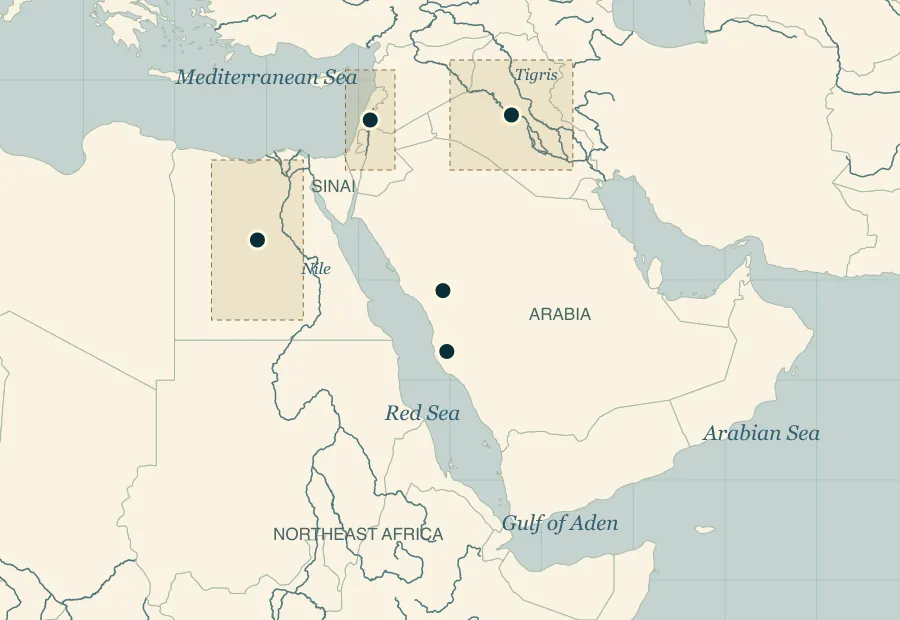
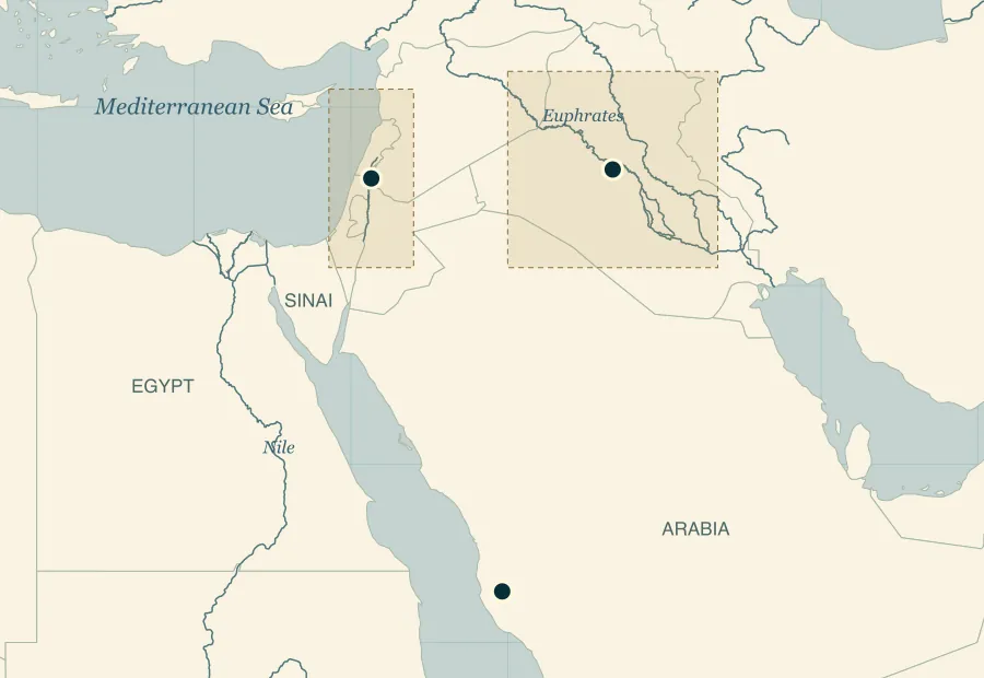
02Ibrahim: Regions of a Continuing Call
Mesopotamia, the Levant, and Makkah
3 places / areas · Geographic context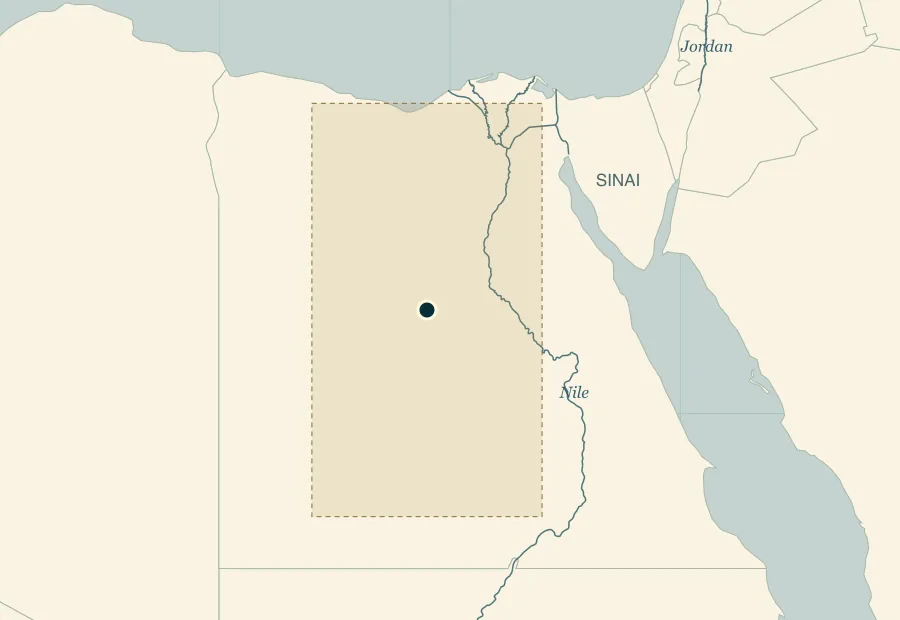 03
03Yusuf: Egypt and the Family’s Reunion
A named country, an unlocated well and palace
1 place or area · Geographic context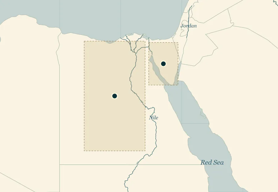 04
04Musa: Egypt, Oppression, and Deliverance
The river country and the limits of reconstruction
2 places / areas · Geographic context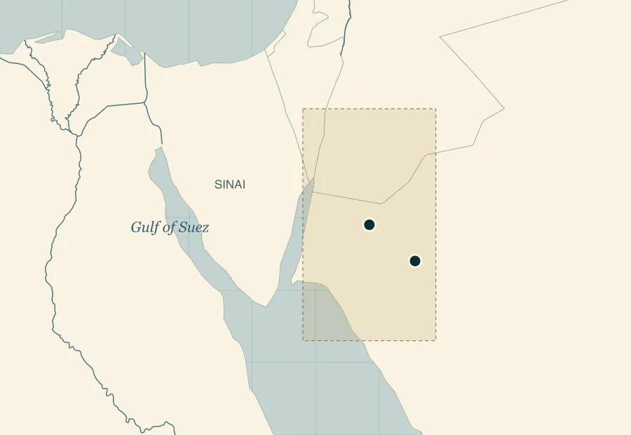 05
05Madyan: Musa and Shu‘ayb
A named destination with debated geographic extent
2 places / areas · Geographic context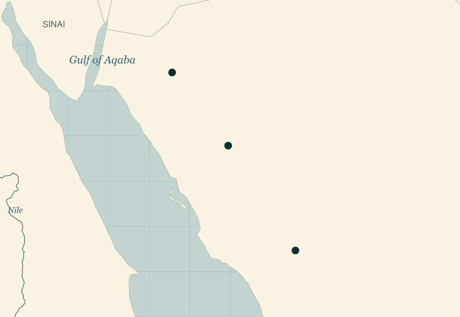 06
06Salih and Al-Hijr
Scriptural memory and a later archaeological landscape
3 places / areas · Geographic context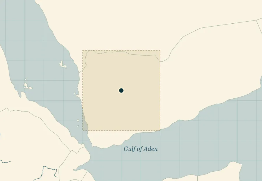 07
07Sulayman and Saba’
Southern Arabia in the account of the queen
1 place or area · Geographic contextSeerah
 08
08Refuge Across the Red Sea
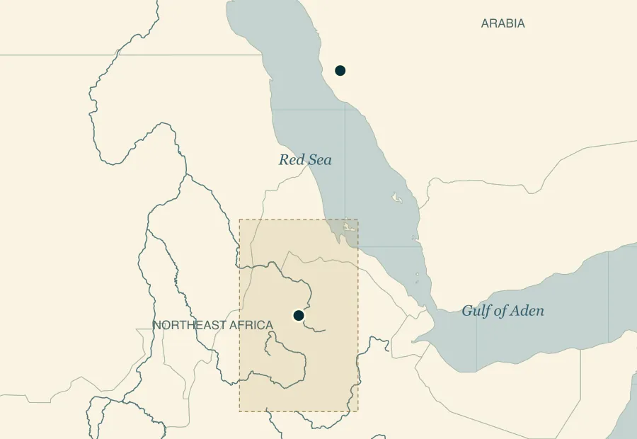
Makkah and the broad Abyssinian setting
2 places / areas · Geographic context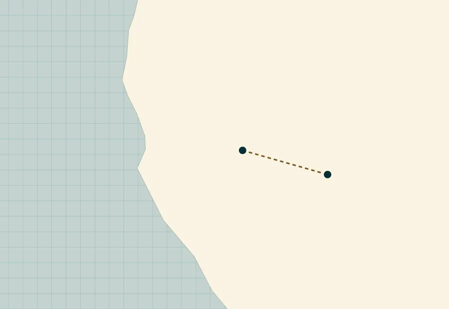 09
09Makkah and Ta’if
Rejection and a merciful response
2 places / areas · Schematic connections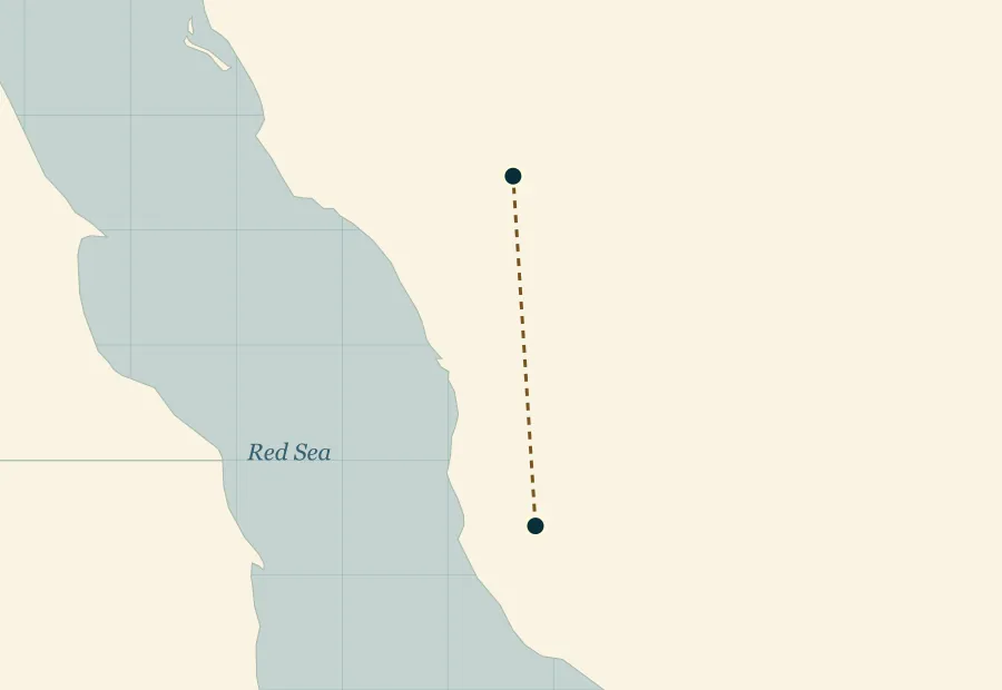 10
10The Hijrah: Makkah to Madinah
Preparation, refuge, and a new home
2 places / areas · Schematic connections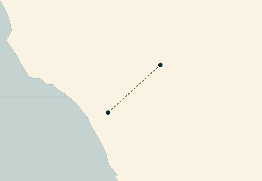 11
11Badr and the Madinan Community
A named encounter southwest of Madinah
2 places / areas · Schematic connections 12
12Uhud and Madinah
The mountain’s position and the account of the archers
2 places / areas · Geographic context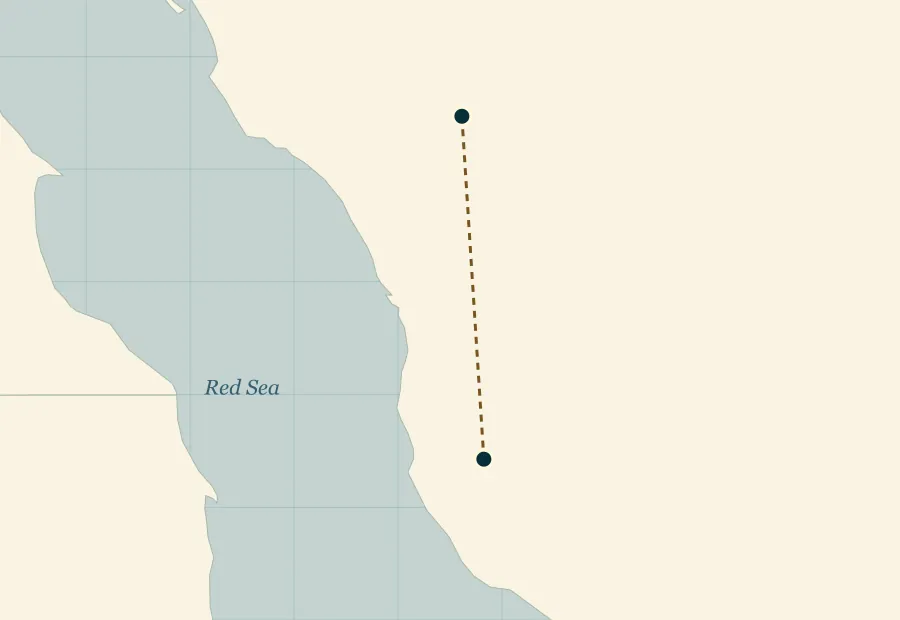 13
13Hudaybiyah: An Agreement Near Makkah
Access to the sanctuary and an unexpected opening
2 places / areas · Schematic connections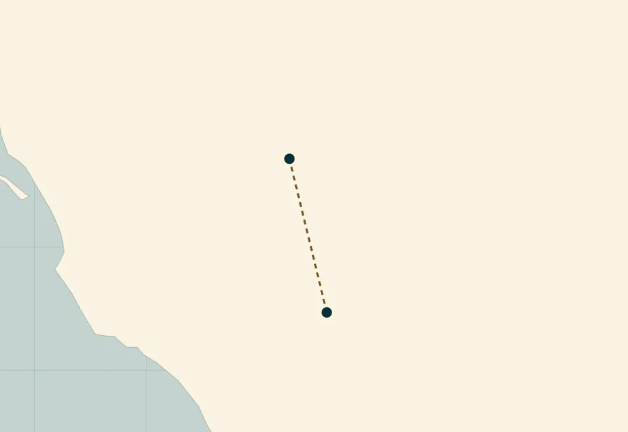 14
14Khaybar North of Madinah
The encounter and the invitation to Islam
2 places / areas · Schematic connections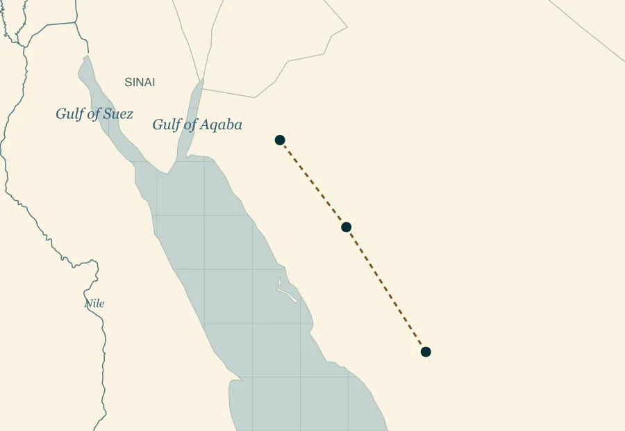 15
15Tabuk and Northwestern Arabia
The expedition and the three who remained behind
3 places / areas · Schematic connectionsSome stories do not yet have a responsibly plotted map
The well in Yusuf’s account, the sea-crossing point, Nuh’s complete voyage, and many early birthplaces lack a settled coordinate in the cited evidence. Their chapters remain available without assigning a speculative pin.
Explore Every CollectionMap Data & Location Notes
The country outlines (1:50 million) and river lines (1:10 million) are Natural Earth public-domain datasets. GeoNames supplies modern-city and mountain coordinates under CC BY 4.0. UNESCO supplies the modern Hegra property coordinate. Coordinates identify modern features; historical connections have separate references.
Shaded boxes are editorial orientation regions. Their edges have no historical boundary claim. The approximate distance scale uses the map center; this is a regional learning atlas, not a navigation tool.
GeoNames · Data and licenseNatural Earth · Public domain